Monitoring Marine Life from Satellites to Sensors
We're merging deep-sea acoustics with orbital high-resolution imagery to create the most comprehensive map of ocean biodiversity ever assembled. At Abyssal Insights, we don't just observe; we interpret the silent signals of the deep.
Acoustic Telemetry
How do we track what we can't see? Our hydrophone arrays capture the unique vocalizations and movement patterns of marine mammals across the UK coastline.
Satellite Mapping
Using sub-meter resolution imagery, our algorithms detect surface-level biodiversity shifts and bloom patterns that indicate healthy ecosystem respiration.
Recovery Zones
We've mapped a 24% increase in species richness within offshore protected areas through our longitudinal tracking projects over the last 6 years.
The UK Coastal Recovery Project
Our team recently concluded a 36-month study documenting the return of grey seal populations in Norfolk. By integrating multi-modal data streams, we provided local authorities with the precise intelligence needed to establish seasonal buffer zones. Isn't it time we used data to actively protect, rather than just document, our natural heritage?
View Case StudyInteractive Ecosystem Views
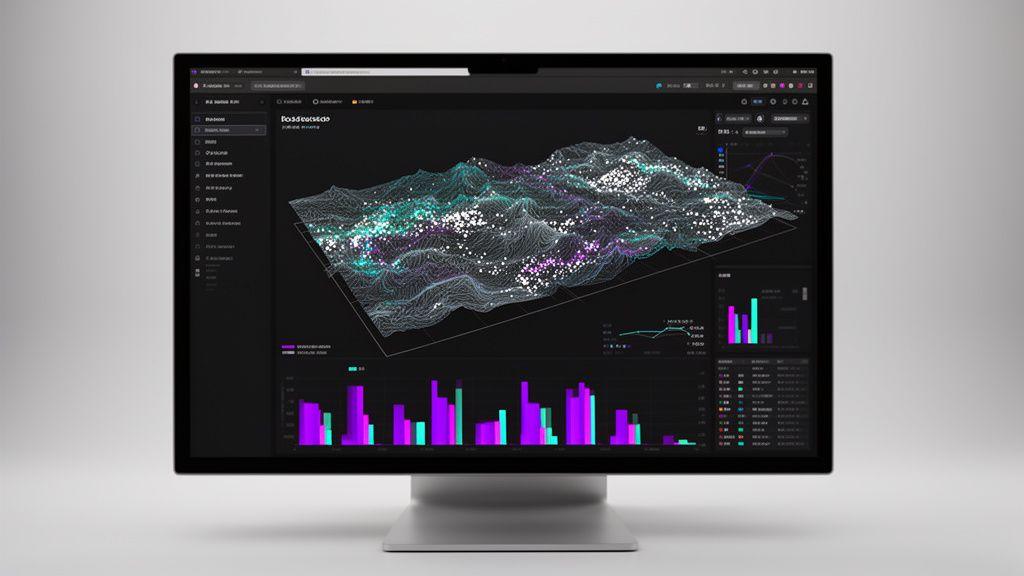
Take command of your marine data with the Abyssal Insights dashboard. Our interface prioritises clarity, turning complex biodiversity metrics into actionable business intelligence.
Population Density
Real-time heatmaps showing species concentration and habitat saturation levels.
Migration Corridors
Predictive modeling of the 12 primary routes used by migratory cetaceans annually.
Thermal Stress
Early warning indicators showing temperature anomalies that threaten local shellfish yield.
Diversity Index
Aggregated scores comparing current ecosystem health against 20-year baselines.